Bike These Closed (to cars) Highways Before It's Too Late
The sweet spot of little (to no) snow and no cars is now! These roads reopen to regular traffic on May 14
It’s hard to believe it’s already nearly the end of April. Longtime readers will know we have beloved bike routes we try to visit annually that re-open to motor vehicles in mid-May.
In other words, if you live in Alberta, you’ve got less than three weeks to enjoy the peace and quiet of biking (or roller skating, or scootering) these stunning mountain highways without cars and trucks whizzing by. Read on, then get rolling!
Sheep River
What sections are closed? Highway #546, West of Sandy McNabb Campground
When: Closed to motor vehicles December 1 to May 14
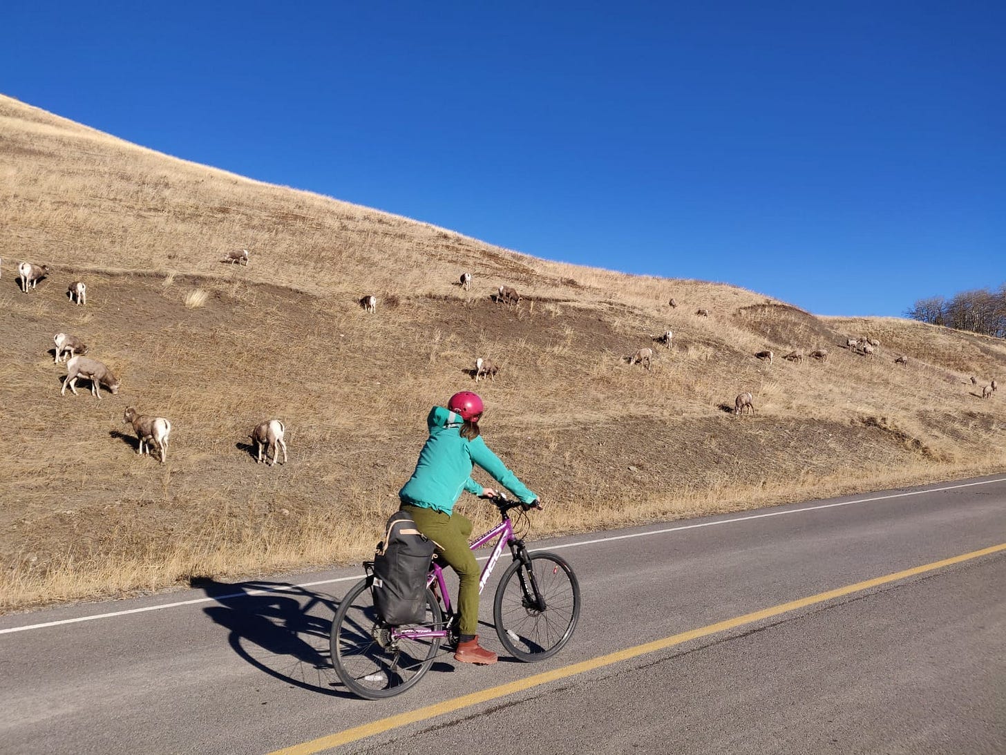
Details: This route truly lives up to its name. We’ve never not seen sheep while biking here and the last couple of years we’ve been lucky enough to see bears (at a distance.) So definitely bring your bear spray.
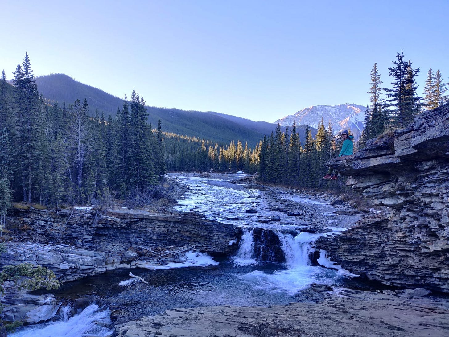
You can park at the Sandy McNabb campground and bike on the highway for about 16 kilometres, when you will reach Sheep River Falls. Leave your bikes here, walk for less than a kilometre and you’ll be rewarded with a lovely waterfall.
Google Sheep River bike and you’ll find detailed trip reports with elevation details and maps. Those looking for a longer ride can start in Turner Valley and cycle the 35 kilometres to Sheep River Falls.
Highway 66
What Sections are closed? West of Elbow Falls & the Powderface Trail
When: Closed to motor vehicles December 1 to May 14
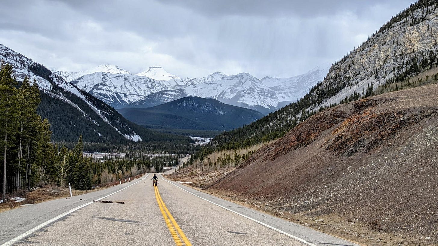
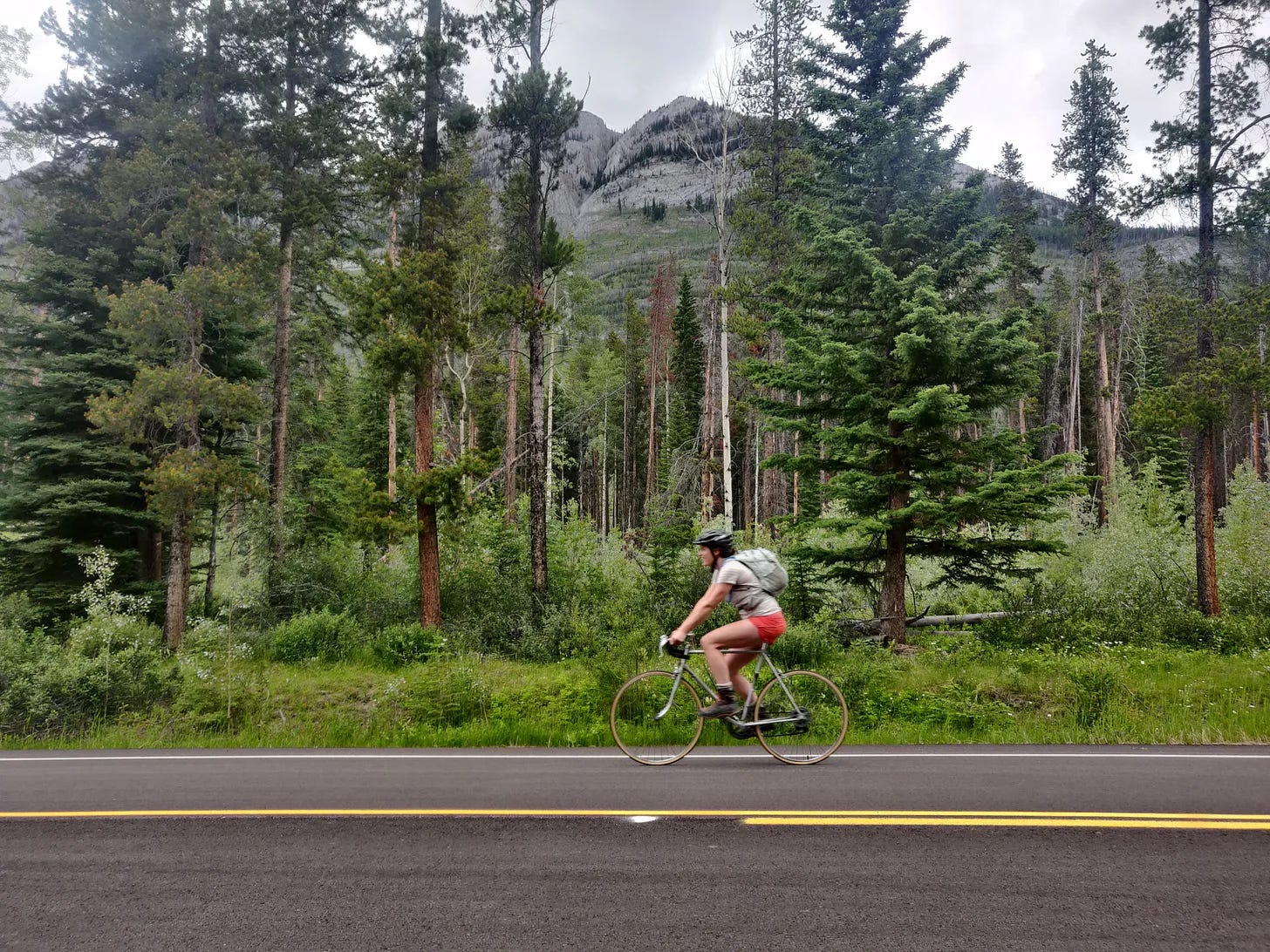
These photos are from April 24 of this year (as in yesterday, a rather dreary/rainy day in the mountains.) There was still a small amount of snow on this route, but it’s very manageable.
Highway 66 is located close to Calgary and offers users a variety of options depending on how long (or short) they want to cycle. The road is closed annually west of the Elbow Falls Provincial Recreation Area, which is where we recommend parking.
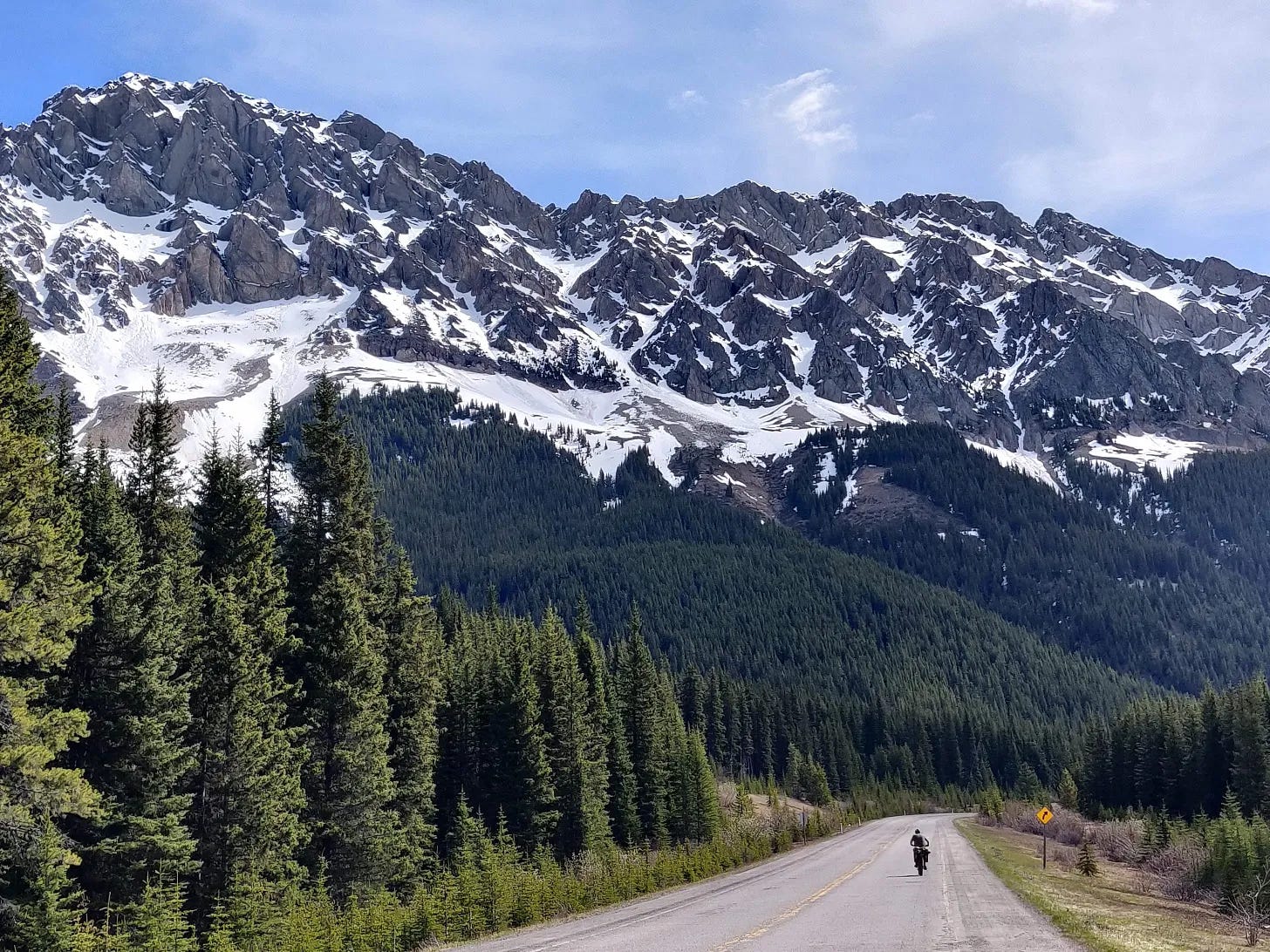
Super little legs can manage 2 kilometres on bikes to the Beaver Flats Campground, where they can play and explore, whereas stronger bikers (with longer legs!) can go 5.1 kilometres to Rainy Summit or about 10 kilometres to Forget-me-not Pond.
The route follows Elbow River and as you can see, it offers stunning views and, if you’re lucky, views of wild horses and other wildlife.
Overwhelmed by the thought of getting on one of these highways in the next 2.5 weeks? Don’t worry, there are other options! Highway 40 is closed to cars annually from December 1 to June 14 and we’ve got lots of details on this route here:
Additionally, Banff’s Bow Valley Parkway is an absolute favourite of ours, and Parks Canada will continue to pilot a public vehicle restriction on this route from May 1 to June 25 and again from September 1 to 30 on the parkway’s 17-kilometre eastern end. More details on that one here:





Another good one is the Yoho Valley Road up to Takkakaw Falls. I don’t believe they have a set date when it opens to vehicles, but I think it’s usually around mid-late June depending on snow conditions. Similar timing window to when you can do the highwood pass ride. Anyways it’s a great ride and a nice way to enjoy that part of Yoho National Park before it’s super busy later in the summer. You can also do a bit of hiking around up there too and make it a full day.
I know I’ll probably not be able to see these places myself, but these pictures are so gorgeous. Thank you for sharing this!